Don't Trust the Fence: Why a Land Survey Is a Must Before You Buy
A fence is not a property line. It just looks like one. On a tight lot, that gap can erase your entire build, and a survey is the only way to know before you're stuck with it.

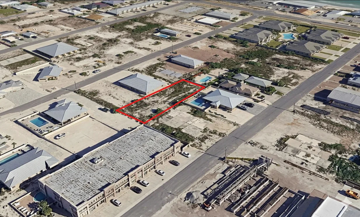
A fence looks like a property line. It almost never is one. On a narrow lot, the gap between what you can see and what you actually own can erase your entire build.
Why you can’t trust the fence
Fences, walls, hedges, and neighboring structures get placed for convenience, not accuracy. They routinely sit feet off the recorded boundary, and boundary disputes are among the most common legal issues in residential construction, affecting roughly 20% of homeowners at some point (American Society of Civil Engineers). Only a boundary survey confirms where your legal lines actually run.
A licensed surveyor researches the property records and legal description, locates and verifies the corner monuments (pins), measures and marks the true boundaries, flags any encroachments, and produces official documentation. A residential boundary survey runs $500 to $2,000.
A 7-foot problem on a 50-foot lot
Found before closing, that same fact costs nothing to fix. It’s leverage. Found after, it’s legal fees, an awkward standoff with new neighbors, and a redesign.
Boundaries aren’t the only thing a survey catches
- Easements and setbacks that quietly shrink your buildable area.
- Adverse possession or prescriptive rights, which in many states can attach after open use for 5 to 20 years.
- Encroachments crossing the line in either direction.
Survey before you close, not after
The right time is before closing, while you still have options: negotiating power with the seller, the ability to walk away, accurate dimensions for planning, and documentation for any title claim. Make the purchase contingent on a satisfactory survey, verify the pins, pull the county plat map, and compare it against the legal description in your paperwork. Resolve any discrepancy before you sign.
Good fences make good neighbors, but only when they’re in the right place.
A survey settles the lines. For the rest of the lot (zoning, access, utilities, flood and slope), the free Land Feasibility Quiz shows what’s still unconfirmed in about two minutes.
Know where your lines really are
Setting the lines is a surveyor's job. A SiteFacts Report pulls the survey records we can find and flags gaps: no survey on record, a survey more than 5 years old, or records that don't match the assessor's GIS or tax map boundaries.