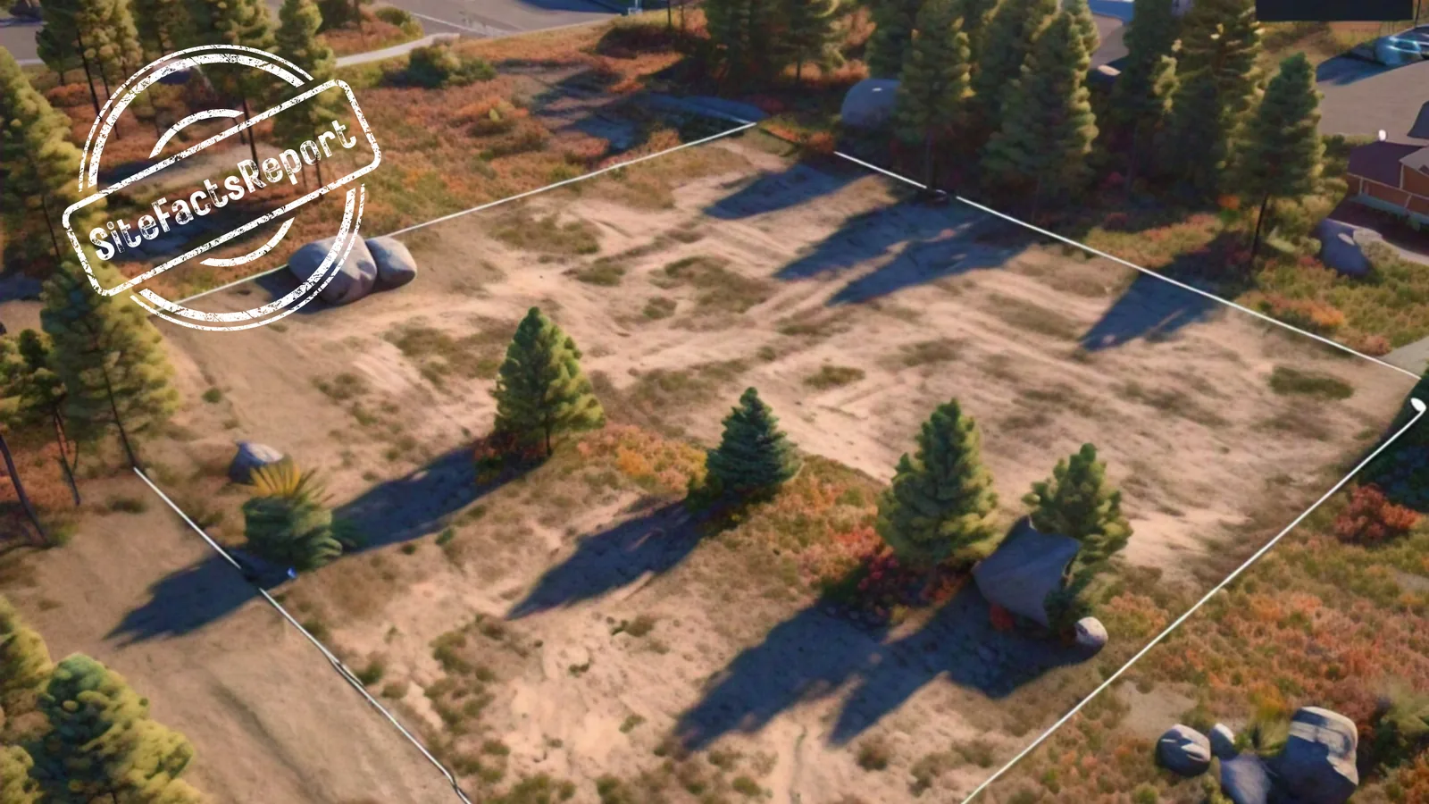
How to Find Zoning and Setbacks for a Property
The zoning map gives you the zone, not where the house can go. How to look up a lot's zoning and setbacks, and what state rules, road lines and CC&Rs add.
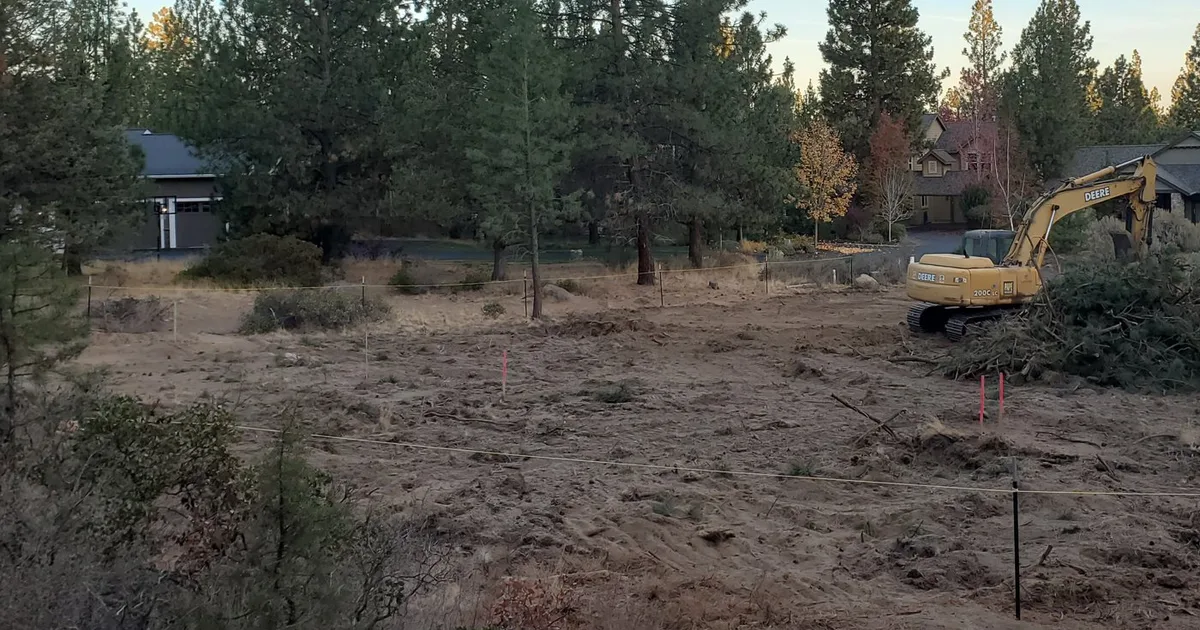
A buyer pulls up a lot online, sees the word residential on the zoning map, and starts picking a floor plan. Then design or the permit review shows that setbacks, overlay zones and private CC&Rs have shrunk the area where the house is allowed to sit.
The zoning map gives you the zone. It doesn’t tell you where the house can go.
To find the zoning for a property, look up its parcel on the city or county zoning map, which gives the zone name, then read that zone’s standards in the code text for the setbacks. Overlay zones, state rules and recorded CC&Rs can add limits, so the zone alone does not show where the house can go.
The zone is the label the map gives the lot, like RS or SR. The setbacks are the numbers in that zone’s section of the code: how far the house has to sit from the lot lines and the road. This guide walks through the lookup in order, with real examples from Texas, Minnesota, North Carolina and Oregon so you can see what the numbers look like. Those examples are not your rules. Your lot has its own.
How do I find the zoning for a property?
Property zoning is set by a city or a county, so start with which one. A mailing address won’t tell you, because a lot with a city name in its address can sit outside that city’s limits. Which government’s code applies depends on where the lot sits and on what your state lets a city or county regulate. Call the county planning department with the address or the parcel number and ask which one applies. The parcel number is the ID the county assessor gives the lot, and it’s usually on the listing or the tax statement.
Then look up the zone. Many counties and cities publish an online parcel map, a zoning lookup, that shows each lot’s zone as a short code like RS or RR-2. Searching the city or county name with “zoning map” or “parcel map” usually finds it. The code is only a label, so call or email the planning department, confirm the zone, and ask which section of the code sets its standards. That section, the zone’s chapter in the city or county code, is where the setbacks live.
What are the setback requirements for my zone?
They’re in that chapter of the code: a front number, side numbers, a rear number, and often a separate number for the garage. The same kind of label on the map can carry very different numbers in different places.
Take two residential zones, one in Oregon and one in North Carolina. In the City of Bend, the RS zone (Residential Standard Density) has a 10 foot front setback, 20 feet for a garage or carport, and 5 feet on the sides and the rear, according to the city’s setback guide, revised July 2023, which summarizes the Bend Development Code. The guide lists exceptions. A porch, deck or stoop no higher than 18 inches can sit closer, and a side-loaded garage wall has its own setback. On some Bend streets the front setback is measured from a special setback line instead of the front property line, and the city’s guide says overlay zones can supersede these numbers.
In the Town of Holly Springs, North Carolina, a home in the SR (Suburban Residential) district has a 20 foot front setback, 10 feet on an interior side and 25 feet at the rear, according to the Holly Springs development code. If the lot fronts a street the town has designated a thoroughfare on its Comprehensive Street Plan (Chapter 13 definitions), the thoroughfare setback is 50 feet, and 100 feet along the NC 540/US 1 and NC 55 freeways (Table 2.2.1-A). Same zone, different number, because of the road out front. The same chapter says a planned unit development (PUD) or conditional zoning approval may establish the development standards for a property (Section 2.2.1), so ask Holly Springs Planning which standards apply to your lot.
Both are residential zones, and the numbers still differ, from the side and rear setbacks to what the road out front does to the front number. A zone label on the map is the start of the lookup, not the answer.
Across SiteFacts reports, 198 recorded front setback findings across zone types, in 116 jurisdictions in 18 states, ranged from 5 to 105 feet. The median was 20 feet, and the middle half fell between 15 and 25 feet. That spread is why a zone label on the map isn’t enough. The label alone doesn’t tell you which end of that range your lot is on, so read your zone’s numbers in the code before you design around them.
Bend’s guide and the Holly Springs code are examples, and I’d confirm any number against the current code before you rely on it.
What if the lot is outside any city?
On unincorporated land the county is the government, and state law decides what a county can regulate. In Texas, the zoning map step may turn up nothing for a lot in the countryside, but the county can still limit where a house goes.
The reason is in the statutes. In Texas, a city’s governing body is authorized by statute to regulate yard sizes, the percentage of a lot that may be occupied and the location of buildings (Section 211.003 of the state’s Local Government Code), while a county can zone only in certain areas the Legislature has named, such as around some lakes and on Padre Island (Chapter 231).
A commissioners court may set building or setback lines along public roads outside city limits and bar new buildings inside them, up to 25 feet from the edge of the right-of-way, or 50 feet on roads it designates as major highways and roads, under Chapter 233 of the Texas Local Government Code. The lines are shown on a map filed with the county clerk (Section 233.034). Because the power is optional, a county may have set none, so ask the county clerk or county engineer whether a line map is on file for your road.
Texas law also lets counties require set right-of-way widths on subdivision roads (Section 232.003) and adopt floodplain rules no less strict than the National Flood Insurance Program (Water Code 16.315). Whether your county has done either is a local question, so ask.
What else changes where the house can go?
Some limits come from a layer above the city or county. A state can lay its own standards on top of the local zone, and Minnesota’s shoreland rules are an example.
The state rule covers land within 1,000 feet of the ordinary high water level of a lake, pond or flowage, and within 300 feet of a river or stream (or the landward edge of a floodplain designated by ordinance on a river or stream, whichever is greater), according to Minnesota Rule 6120.2500. The same rule describes the ordinary high water level as the highest water level maintained long enough to leave evidence on the landscape, commonly where the plants change from mostly aquatic to mostly land plants.
On a lake in that area, the state’s minimum setback from that line depends on how the Minnesota Department of Natural Resources classes the lake and whether the lot has sewer: 150 feet on a Natural Environment lake, 100 feet (75 if sewered) on a Recreational Development lake, and 75 feet (50 if sewered) on a General Development lake, and a separate 30 foot setback from the top of a bluff (Rule 6120.3300).
Where more than one setback applies to a site, the rule says structures must be located to meet all of them (Rule 6120.3300, subpart 3). These are state minimum standards that local shoreland ordinances carry out, and a city with shoreland must submit its ordinances to the state for review (Minnesota Statutes 103F.221). The rule has exceptions, so ask before you assume one applies.
A lake lot’s zone label won’t tell you that number. The lake’s class will. Ask the city or county which class your lake is and what its shoreland ordinance requires.
Ask the planning department one question: does any overlay, special setback or state rule touch this parcel?
Do private rules apply on top of zoning?
They can. CC&Rs, short for covenants, conditions and restrictions, are private rules recorded against the land, usually when a subdivision is created. The county doesn’t write them, and the zoning map doesn’t show them.
One lot we researched sat in a county rural residential zone. The subdivision’s recorded CC&Rs required 50 feet in front, 25 feet on the sides and 50 feet in the back. The county zoning map and code don’t show those numbers. Private rules sit on top of zoning, so a buyer working from the map alone can draw the house in the wrong place.
Get the recorded CC&Rs from the title company before you make an offer, and ask the title company or an attorney how they apply to your lot. Read for setbacks and for any other limit on where or how you can build.
Run the free checks from home
The Land Buyer's Field Guide has a one-page checklist and 15 free checks to run from home, plus a decoder for 12 listing phrases.
How much of the lot is left for the house?
Draw each setback as a line inside the lot’s boundary, add the overlay limits and any CC&Rs, and what remains is the building envelope: the area where the house and garage can sit. Two lots with the same acreage can leave very different envelopes. The one that matters for your floor plan is the envelope, not the acres on the listing.
The envelope is only as accurate as the lines it’s measured from. Setbacks run from property lines or the road right-of-way, and both depend on where the real boundary is. A fence, a row of trees or a stake isn’t always on it. A land survey is how you confirm where they are, which is why a survey matters before you buy.
Whether a lot is buildable for your house depends on whether your floor plan fits inside the envelope and on other checks such as septic, road access, slope, utilities and flood zone. We cover those in what to check before you buy land to build a house. For a lot in a flood zone, start with our guide to building in a flood zone.
What should I do before I pay for design or close?
Do the lookup in order. Find out whether the city or the county governs the lot. Look up the zone and the code section that sets its standards. Read the setbacks, then ask the planning department about overlays, special setbacks and state rules. Get the CC&Rs. Then draw the envelope on the real property lines and set your floor plan inside it. That is a few phone calls and some reading, and it happens before you’ve paid for anything you can’t take back.
SiteFacts has completed 300+ reports across 140+ jurisdictions in 26 states, and we’d start your lot with a SiteScore. You enter the lot’s address and order a SiteScore, a fast first screen of five deal-killers: zoning with setbacks, wetlands, floodplains, slope and access. It’s typically back within 2 business days and costs $99 on our website. It doesn’t cover private CC&Rs or utilities, so the CC&R read stays with you, and so does the call to the planning department about overlays. If the screen shows no deal-killers and you’re serious about the lot, a full SiteFacts Report covers zoning and setbacks along with utilities and more ($899, typically 7 to 10 business days).
Before you pay for design or sign at closing, order a SiteScore on the lot.
Screen the lot before you pay for design
SiteScore screens zoning with setbacks, wetlands, floodplains, slope and access. It costs $99 and is typically back within 2 business days.