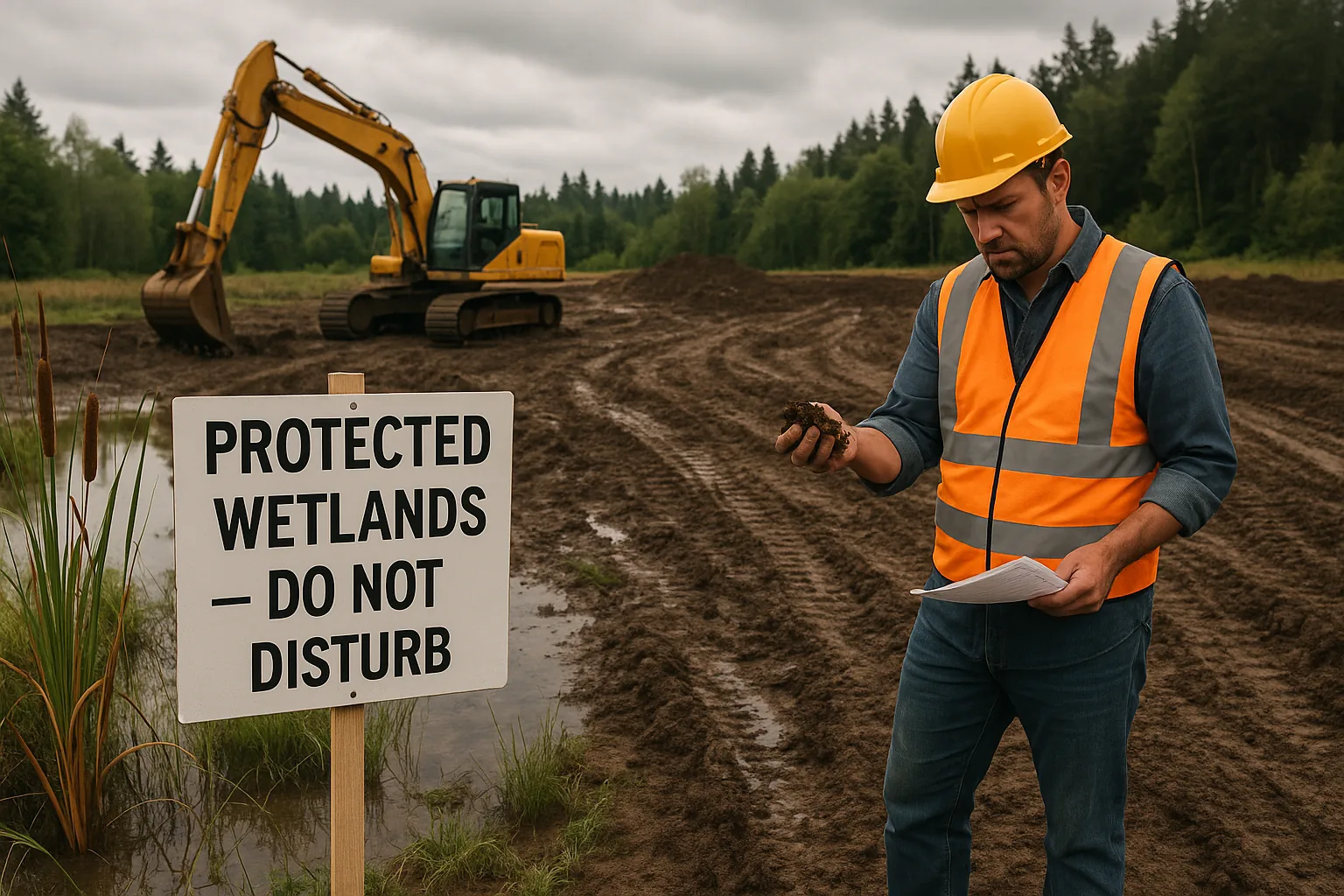
Wetland Delineation: How to Tell if a Property Has Wetlands Before You Buy
A blank wetlands map and dry ground don't mean a lot is clear. What a wetland delineation is, how to check before you buy, and what to ask first.
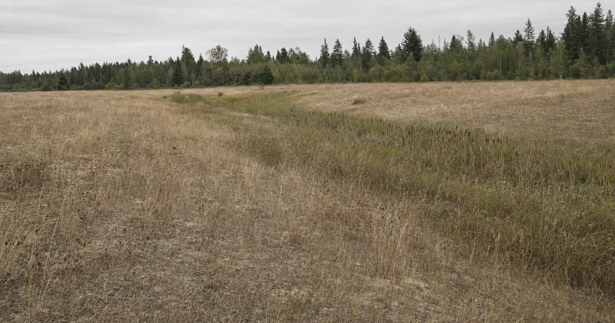
A buyer pulls up the wetlands map for a parcel and sees nothing. The lot looks dry in late summer, the seller says it has never been a problem, and the deal closes.
Then the buyer applies for a permit, and the reviewer asks for a wetland delineation. Now the buyer needs a consultant, a field season and an agency review, and the clock started at closing.
The map was blank and the ground was dry. Neither one was the test.
To tell if a property has wetlands, treat maps as a screen, not an answer. Check the federal, state and local layers, because any one of them may show or regulate a wetland the others miss. Before closing, ask the local planning office and a qualified wetland professional what applies to the lot.
A wetland delineation is a survey that marks where a wetland starts and stops on one specific property. Wisconsin’s DNR calls it a precise wetland boundary survey that meets federal and state regulations, done by a wetland professional and then checked by the agency. Whether the wetland is regulated is a separate question.
What makes land a wetland, even when it looks dry?
A wetland is land that meets a legal test, and a dry surface in August does not end the question. The federal rule describes wetlands as areas inundated or saturated by surface or ground water often enough and long enough to support plants adapted to saturated soil, and that normally do support them.
EPA groups the signs into three categories: soils, vegetation and hydrology. Hydrology just means the water. EPA adds that hydric soils show traits such as color and texture, and that together with water-loving plants they give clues that a wetland is present.
Hydric soil is one of those clues. USDA’s farm program rule defines it as soil that, in an undrained condition, stays saturated, flooded or ponded long enough in the growing season to lose its oxygen. For how that plays out in one state, see our post on the hidden cost of hydric soils.
Timing matters too. Oregon’s DSL says some wetlands are only wet during part of the year. A lot that looks dry in late summer tells you very little.
How do I know if my property has wetlands?
Start with the maps, and read them as a screen, not an answer. The U.S. Fish and Wildlife Service runs the Wetlands Mapper, which shows the National Wetlands Inventory. The agency’s data limitations page says its own data should not be interpreted as representing the presence, absence, or extent of wetlands covered by federal, state, tribal or local laws. The maps come from aerial imagery with a built-in margin of error, and features may have changed since the imagery was taken.
States say the same thing. Michigan says its inventory maps, the National Wetlands Inventory and soil surveys may not include all wetlands, and that actual conditions at a property always take precedence over any map. Wisconsin’s DNR mapping page says maps are just guides and on-site investigation is required. Oregon says there may be unmapped wetlands that are subject to regulation.
Then check the layers closer to the lot. Oregon publishes a Statewide Wetlands Inventory that shows approximate locations, and DSL’s inventory page says the map does not serve as the delineation that state permits require. In Washington, state law has cities and counties protect wetlands through critical areas ordinances, so ask the local planning office for its critical areas map. NRCS also runs Web Soil Survey, a soil map you can check for the parcel.
Last, look at the ground. Wisconsin’s DNR says wetland plants, hydrology indicators and soils may still indicate wetland presence where maps show nothing. In one of our reports, ditches and irrigation laterals at a boundary have shown up as mapped emergent wetland, and that called for a professional delineation. A ditch, ground that stays soft or plants you can’t name are reasons to ask a wetland professional. They are not a test you can pass or fail on your own.
What does a clean wetlands map not prove?
A blank map is not a clean lot. In one SiteFacts report, a title company profile, FEMA and the Fish and Wildlife Service all showed clear on the same lot, while the state inventory showed hydric soils and mapped wetlands that triggered a city overlay. Federal screens answer federal questions. A state inventory and a city overlay ask different ones.
The error runs the other way too. In SiteFacts reports, reviewers have also cleared mapped features that did not hold up on the parcel. A map hit is a reason to look closer, not a verdict. A blank map is a reason to ask the local office, not a reason to stop. The Fish and Wildlife Service calls the inventory reconnaissance level information and says a detailed on-the-ground inspection of a site may revise the boundaries.
Do I need a wetland delineation?
Sometimes, and the answer can come from three layers: federal, state, then county and city. Any one layer can regulate a wetland the others do not.
Federal first. Section 404 of the Clean Water Act covers discharges of dredged or fill material into waters of the United States, and the Army Corps issues the determinations and permits (33 CFR 331.2). In Sackett v. EPA in 2023, the Supreme Court held that the Act reaches adjacent wetlands that are “indistinguishable” from covered waters because of a continuous surface connection. Some isolated wetlands that once fell under federal rules may not now. EPA has also proposed a further update to the definition, so check EPA’s page for where it stands.
Not federal does not mean not regulated. Washington’s Ecology says it regulates wetlands regardless of federal jurisdiction. Oregon’s removal-fill law requires a permit for most projects that add, remove, or move more than 50 cubic yards of material in most wetlands or waters, and DSL lists filling wetlands to build structures as an example.
Minnesota law says wetlands must not be drained or filled unless replaced under an approved plan, and the state’s BWSR says two or more programs may cover the same wetland. Michigan’s Part 303 reaches wetlands connected to or within 500 feet of an inland lake or stream, plus unconnected wetlands over five acres. Wisconsin’s DNR says a full delineation is required for all development projects that may result in impacts to wetlands.
Florida delineates under its own statewide method, Chapter 62-340 of the state code. Who handles the federal wetland permit there is in litigation, and DEP’s own pages don’t agree: its State 404 page and its FAQ read differently. Confirm with the Army Corps Jacksonville District and DEP.
None of this means every lot with a mapped wetland needs a delineation. Some projects stay clear of the wetland and its buffer, and whether a delineation is still needed then depends on the local code.
What is the difference between a delineation and a jurisdictional determination?
A delineation maps where the wetland edge is. A jurisdictional determination decides whether that wetland is regulated. They are two documents, often from two different parties.
Under the federal rules, a jurisdictional determination is a written Corps determination that a wetland is subject to Section 404. An approved one states whether waters of the United States are present on a parcel, and it can be appealed. A preliminary one is advisory and cannot be appealed. EPA’s Section 404 page says the applicant most often submits a preliminary jurisdictional delineation to the Army Corps, which then verifies it. And Washington’s Ecology is blunt about who decides: the Corps, not applicants or their consultants, determines whether a wetland is a water of the United States.
The fieldwork is done by a qualified wetland professional. Ecology’s delineation page says you may need to hire a qualified wetland professional, and Oregon’s DSL says consultants assess the boundaries and submit delineation reports to DSL for review.
How long does a delineation take, and how long does it last?
It depends on the agency, and the numbers differ, so don’t borrow one from another state. Oregon’s DSL says it reviews completed reports within 120 days, that reviews typically take several months, and that approved delineations are generally valid for five years unless site changes require revision. Washington’s Ecology says a delineation done more than five years ago generally needs to be revisited. Michigan’s identification program guarantees its findings for three years. Wisconsin says confirmations for nonfederal wetlands are typically valid for 15 years (DNR permits page). An old delineation on a lot is a lead, not a free pass. Ask the agency whether it still counts.
Season matters too. Wisconsin’s DNR info sheet says that when snow or frozen soil hides the evidence, a confirmation decision may wait until the following spring. Michigan holds applications received from October 1 through winter until spring, typically mid-April in southern Michigan. A fall or winter purchase in the Upper Midwest can push wetland fieldwork to spring, so build your due diligence period around that.
How much does a wetland delineation cost?
It varies by site and by agency. Some agency fees are published. Wisconsin’s wetland identification service gives presence or an approximate boundary for $300 per acre for up to 5 acres, with a response in 60 days or less. Consultant fees vary by site, so ask for a written quote.
Can you build on wetlands?
Sometimes. It depends on the jurisdiction, the permits, the buffer and whether the design can stay out of the wetland. No rule covers every lot.
Buffers matter because the setback can be wider than the wetland itself. In Minnesota, the Minnehaha Creek Watershed District sets base buffer widths of 75 feet for Preserve wetlands, 40 for Manage 1 and 30 for Manage 2, and says no new structure or impervious surface may be placed within a buffer, with limited exceptions. That rule applies only inside that district. In Washington, each city or county sets buffer widths in its critical areas ordinance, and Ecology publishes guidance for those updates.
When a wetland can’t be avoided, permits and replacement of lost wetland come into play, as in the Minnesota law above. And the order of work matters. In our reports, the delineation comes before the grading plan, and a late one can force changes to septic routes, drainage and grading.
What should I ask before closing?
Ask two offices while you still have time to act. Ask the local planning office whether the parcel has mapped or known wetlands, critical areas or overlays, and what written proof it would need to confirm that. Ask the state agency that handles wetlands where you’re buying whether what you plan to build would need a delineation or a permit. Put the answers in writing.
Oregon shows how this can work. Local governments there send DSL a notice when a project touches land shown on the inventory, and DSL tells the owner whether the project needs a delineation or state permit (DSL local planning page). DSL wetland ecologists can also provide an offsite determination at no cost, as staff capacity allows (DSL identification page).
Then ask the seller for any past delineation or wetland report, and check its date against the validity periods above. Do all of it before closing.
If you’re working with an agent or a builder
Ask them two things. Has this lot been checked against the local wetland, critical areas or overlay maps? And is there any past delineation or wetland report for it? Ask for the answers in writing.
What a SiteFacts Report does here, and what it doesn’t
A SiteFacts Report flags mapped wetlands and the overlays that apply to a lot, and it gives you a jurisdiction call list. It does not delineate a wetland, issue a jurisdictional determination, rate hydric soils or find wetlands that no map shows. Only a qualified wetland professional and the agencies can do that work.
You learn before closing which mapped wetlands and overlays apply to the lot, and you get the list of offices to call.
A blank map tells you what nobody has mapped. It doesn’t tell you what the permit office will ask for.
Find out who to call before you close
The Report flags mapped wetlands and the overlays that apply, and gives you a jurisdiction call list. Whether a wetland is regulated is the agency's call.