Base Flood Elevation: How to Tell if a Lot Is in a Flood Zone Before You Buy
Base flood elevation is the water height of a 1% annual chance flood. How to check a flood zone, what the letters mean, and what to ask before closing.
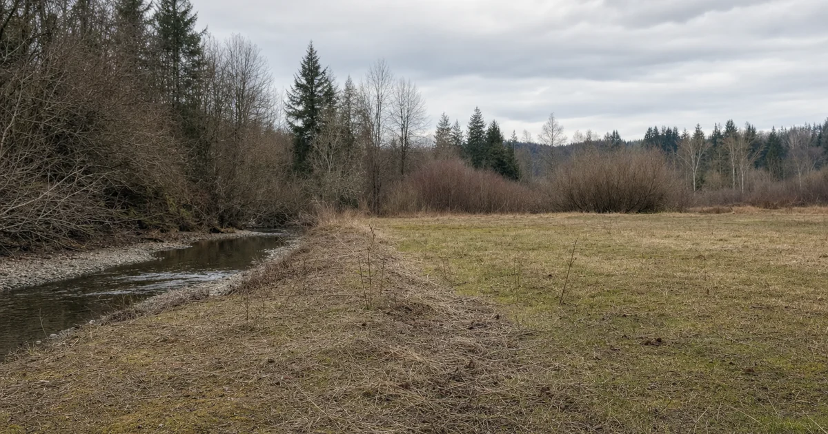
SiteFacts has seen a house built 12 inches below base flood elevation.
A flood zone letter does not tell you the base flood elevation. Nor does it tell you the local floor-height rule.
To tell if a lot is in a flood zone, search its address on FEMA’s Flood Map Service Center and ask the floodplain administrator. Base flood elevation is the water height in a 1% annual chance flood. In Zone AE and similar zones, federal rules require participating communities to set a new home’s lowest floor at or above it.
What is base flood elevation?
Base flood elevation, or BFE, is a height, not a depth. FEMA’s glossary defines it as the elevation of surface water resulting from a flood that has a 1% chance of equaling or exceeding that level in any given year. It is printed on the flood map for zones such as AE.
That 1% chance is what people call a 100-year flood. The name is misleading, because it does not mean once a century. It means a 1% chance in any single year, every year, and FEMA’s glossary uses the same 1-percent definition for the Special Flood Hazard Area, the land that would be flooded by that event.
Because BFE is a height above a fixed reference, you can’t tell if a lot or a house is above it by looking. Someone has to compare the elevation of the ground or the floor against that number, for that specific spot.
How do I tell if a lot is in a flood zone?
Use two routes, and use both. FloodSmart’s flood zone page tells readers to find their flood map online at the FEMA Flood Map Service Center or by contacting your local floodplain administrator.
The Flood Map Service Center is FEMA’s official public source for flood hazard information tied to the National Flood Insurance Program. You can enter an address, a place, or coordinates. The site also warns that what you download or print may be replaced by new maps over time, so note the date you looked.
Your city or county floodplain administrator is the second stop. That office knows the local rules, which the map does not show. In Oregon, for example, the state’s NFIP page says cities and counties adopt floodplain maps and regulations, and issue floodplain development permits at the local level.
Building on a lot like this? Our guide to building in a floodplain walks a builder through each step, from the floodplain permit to the final elevation certificate.
A map lookup gives you the mapped zone. It does not give you the height of a building pad or a floor against BFE. That takes more work, and we cover it below.
What do the flood zone letters mean?
Start with the split FEMA uses. FloodSmart’s flood risk page says high-risk flood areas begin with the letters A or V, and moderate to lower risk areas are marked B, C and X.
Zone AE is a high-risk zone where base flood elevations are provided. Zone V is the coastal flood zone with velocity hazard (wave action), according to FEMA’s flood zone legend.
Zone X comes in two kinds. FEMA’s flood zone glossary describes shaded Zone X as the area between the base flood and the 0.2-percent-annual-chance flood, and unshaded Zone X as outside that larger floodplain. Zone D is different again. FEMA’s Zone D entry says it covers areas with possible but undetermined flood hazards, where no flood hazard analysis has been conducted.
Zone X does not mean no risk. FloodSmart’s flood zone page says every zone carries a flood risk, and it’s just a matter of how big the risk is. It also recommends flood insurance in Zones B, C, X and D.
What is the difference between Zone A and Zone AE?
Both are high-risk zones. The difference is the number. FEMA’s legend says Zone A has no base flood elevations determined, and Zone AE has them determined.
On a Zone AE lot, the BFE is on the map. On a Zone A lot, it is not. FEMA’s guide to these areas says Zone A is an approximately studied area for which no BFEs have been provided, and that building there often requires obtaining or calculating a BFE at the development site.
In our reports, Zone A lots with no published base flood elevation have come up, and the permit could not move until someone established that elevation. The same FEMA guide says that without other data, a community may require the applicant to elevate the structure two or more feet above the highest adjacent grade. Which data the community accepts is a question for the local floodplain administrator.
How high does the floor have to be?
At the federal level, the rule is plain. For new residential construction in zones A1-30, AE and AH, 44 CFR 60.3(c)(2) requires the lowest floor to be elevated to or above the base flood level. The same section has a separate exception for some basements, so ask how your local rule treats them.
That is a minimum. Under 44 CFR 60.1(d), a state or community rule that is more restrictive takes precedence over the federal criteria.
The extra height has a name. FEMA’s glossary defines freeboard as an additional amount of height above the Base Flood Elevation used as a factor of safety. It adds that NFIP standards do not require it, but communities are encouraged to adopt at least a one-foot freeboard.
Some states set a number. In Minnesota, Minn. R. 6120.5700 sets flood protection elevations at a point not less than one foot above the regional flood water surface profile, and lets local governments enact rules that exceed it. In our reports, some counties and cities require the floor higher than FEMA’s minimum.
Building in a mapped flood area also means asking about a floodplain development permit. Federal rules require participating communities to require permits for all proposed construction in a mapped Zone A, and your city or county decides how its own permit works.
Can you just bring in fill to build higher?
Not as a simple fix, because placing fill in a mapped flood hazard area is regulated. In SiteFacts’ experience, many jurisdictions have stiff rules on importing fill into flood zones.
In an adopted regulatory floodway, 44 CFR 60.3(d)(3) has communities prohibit encroachments, including fill, unless analyses show no increase in flood levels during the base flood. In zones A1-30 and AE with no designated floodway, 60.3(c)(10) permits no new development, including fill, unless the cumulative effect will not raise the base flood more than one foot at any point in the community.
FEMA also publishes NFIP Technical Bulletin 10, “Reasonably Safe from Flooding Requirement for Building on Filled Land” (March 2023). Ask the local floodplain administrator what applies before anyone orders a load of dirt.
What does a blank flood map mean?
A blank flood map does not mean a dry lot. In our reports, some areas have no FEMA flood study at all, and a blank map there means nobody studied it, not that it doesn’t flood.
SiteFacts has also seen flood zone data disagree between sources, and the jurisdiction’s floodplain records are where it got settled. And a mapped flood zone on part of a lot is not always a problem for the house, because where the building site sits matters.
FEMA’s own numbers show why the gaps matter. A July 2025 FEMA report to Congress lists 1.2 million unmapped miles of flooding sources in the United States. FloodSmart’s flood risk page adds that “From the years 2014-2024, almost one-third of NFIP flood claims came from areas outside of high-risk flood areas.”
Maps also age. FloodSmart says flood hazards change over time, and updated maps can change insurance requirements and cost.
For the same map limits on wetlands, see our post on wetland delineation before you buy.
What is an elevation certificate?
FEMA’s fact sheet describes the elevation certificate as an optional tool used by the NFIP to evaluate a building’s first floor height and adjacent elevation, stay in compliance with floodplain regulations and help lower the cost of flood insurance coverage. It adds that a community may require one before and after construction.
A licensed surveyor provides the elevation certificate, or, where state law allows, an engineer or architect. FEMA’s instructions call for elevations certified by a land surveyor, engineer or architect, as authorized by state law, when the certificate supports a LOMA or LOMR-F request.
On a property you are buying, FEMA’s fact sheet says to ask the sellers if they have a copy, and that local floodplain managers may be able to provide one. It also says a licensed professional may be able to provide one for a fee. SiteFacts does not prepare elevation certificates.
In SiteFacts’ experience, many jurisdictions also require a surveyor to certify the grade and the finished floor elevation at the end of construction. Federal rules require a record of it. Under 44 CFR 60.3(b)(5), where base flood elevation data are used, the community must obtain the elevation of the lowest floor of new and substantially improved buildings and maintain a record of it.
What does a LOMA do?
A LOMA, or Letter of Map Amendment, is a FEMA letter saying that an existing structure or parcel on naturally high ground, not raised by fill, would not be flooded by the base flood. FEMA explains it on its change your flood zone page.
A LOMR-F is the version for ground that has been raised by earthen fill. Placing fill in a mapped flood hazard area needs local approval, and in floodways and some AE zones it is restricted, so fill is not a shortcut out of the zone.
For a lot, the lowest point on the lot has to be at or above BFE, and for a LOMA, FEMA’s LOMA page asks for elevation information certified by a licensed land surveyor or registered professional engineer. FEMA’s LOMA page also says there is no review and processing fee for the FEMA review of a LOMA request.
FEMA’s LOMA page says a LOMA removes the federal insurance requirement, but the lender retains the prerogative to require flood insurance. SiteFacts does not file LOMAs.
Where does flood insurance come in?
FEMA’s page for lenders and real estate professionals says federally regulated or insured lenders must require flood insurance for buildings in high-risk areas with a federally backed loan. Whether your own deal falls under that depends on the property and the loan, so ask your lender.
Height affects cost too. FEMA’s fact sheet says that the higher the elevation of a building’s first floor, the less flood damage it’s likely to incur, and that an elevation certificate may lead to a lower annual premium.
What should I ask before closing?
Ask the local floodplain administrator four things, and ask for the answers in writing. Is the lot, or just the building site, in a mapped flood zone? What is the base flood elevation there, or has none been published? How high does the local ordinance require the lowest floor to be? Is a floodplain development permit required, and are any map changes underway?
FEMA’s guidance tells real estate professionals to check whether flood maps will be changing in the area.
SiteFacts’ advice is to have the surveyor stake the base flood elevation on site, so you can see what you are working with.
Then ask the seller for any elevation certificate or flood report. Ask your lender and an insurance agent what they will require. Do all of it while you can still walk away.
What a SiteFacts Report does here, and what it doesn’t
A SiteFacts Report flags the mapped flood zone and the overlays that apply to a lot, and it gives you a jurisdiction call list. Each report is analyst verified and typically delivered in 7 to 10 business days.
It does not survey a lot, prepare an elevation certificate, file a LOMA, make a flood determination, or find flood risk on land that no map covers. A surveyor or engineer does that work, and the floodplain administrator decides what the lot needs.
You learn before closing which flood zone and overlays are mapped, and which offices to call about the rest.
A flood zone letter tells you what was mapped. It does not tell you the height your floor has to reach.
Find out who to call before you close
The Report flags the mapped flood zone and the overlays that apply, and gives you a jurisdiction call list. The height your floor has to reach is the local floodplain administrator's call.