Why Is That Infill Lot Still Vacant?
Every reason to buy was on paper. Every reason to walk was under the trees. A Pacific Northwest infill case study, and the seven checks to run before you buy a vacant lot in the city.
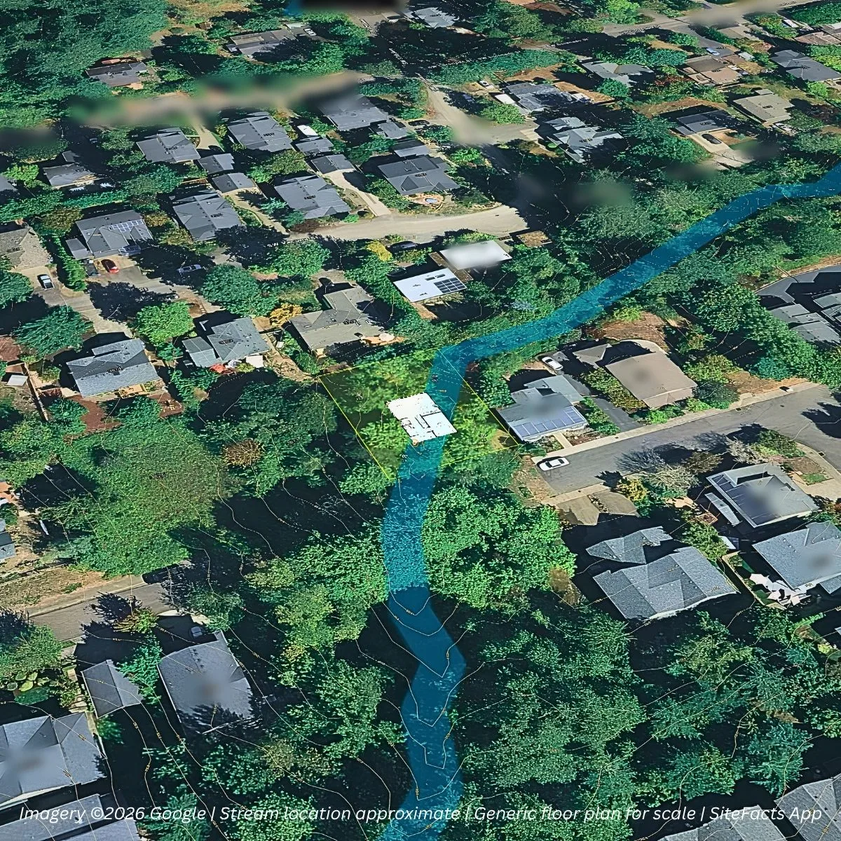
Vacant infill lots in established Pacific Northwest neighborhoods don’t stay vacant by accident. This one looked perfect until you knew where to look, and it’s a good case study in what infill lot due diligence has to cover before you make an offer.
On paper, it had everything
| What the listing showed | ✓ |
|---|---|
| Affordable and unbuilt | ✓ |
| Inside city limits | ✓ |
| Utilities “down the block” | ✓ |
| Established neighborhood, platted in 1889 | ✓ |
| Zoned single-family | ✓ |
| Outside the mapped floodplain | ✓ |
It’s the kind of lot that makes you wonder why it’s still available.
Here’s why: a creek you can’t see
A creek cuts diagonally through the property. You can’t see it from the street, and you can’t see it on aerials because it’s buried under trees.
It does show up in two places most buyers never check:
- The wetland maps
- A City engineering plan in the neighbor’s permit file, which shows where the creek runs and the ground dropping about 17 feet toward it
Once you know the creek is there, every other oddity on the lot makes sense.
How one creek changes everything
| Issue | What we found | Why it matters |
|---|---|---|
| Street access | The street was never built in front of this lot. It’s paved to the east and along part of the lots to the west. The missing section crosses the creek. | The City requires frontage on a drivable street before it issues a permit, so the road crossing has to come before the house. |
| Sewer | The main stops about 84 ft away on one side and 200 ft on the other. | Extending a main is on the buyer. |
| Water | The water main has the same gap. | That’s a second extension on top of sewer. |
| Environmental zone | About 85% of the lot sits in a City environmental protection zone around the creek. | Staying out of the zone leaves almost no room for a house. Building in it means City environmental review, with approval criteria that are tough for a private home to meet. |
| Slope | About 17 ft of drop toward the creek | Foundation and grading costs go up, and so does stormwater complexity. |
The neighbors are a tell
The two lots next door got City approval for a driveway workaround a few years ago. Neither one has been built.
When adjacent lots have approvals and are still empty, the approval was probably not the hard part.
“Buyer responsible for all due diligence”
This summer those lots were marketed to builders as an exceptional opportunity with endless possibilities, with the buyer responsible for all due diligence on utilities, zoning and buildability.
That last part carries the whole listing.
Nothing in the listing was false. The sellers simply left the question that matters to the buyer: what will it take?
Is this lot buildable?
I don’t call a lot unbuildable often. Buildability mostly comes down to how much time and money an owner or developer is willing to spend getting through the regulatory process.
On this one, the path is narrow, expensive, and slow: a road crossing over a creek, two utility extensions, and an environmental review whose criteria are hard to meet for a single home. Someone could get there. Most buyers don’t want to, and that’s why the lot is still sitting there.
Infill lot due diligence: check what’s under the trees
If you’re buying a vacant lot in the city and it’s still empty inside an established neighborhood, assume there’s a reason and go find it:
- Wetland and stream inventories. Aerials won’t show a creek under a canopy, but these maps usually will.
- Neighbors’ permit files. Engineering plans next door often show topography, drainage, and constraints that aren’t mapped anywhere else.
- Street frontage. Is the street in front of your lot actually built to a standard the City will accept for a permit? (Even when it is, frontage improvements like sidewalks can land on the builder.)
- Measured utility distances. Ask how many feet to the nearest sewer and water main, not whether they’re “nearby.”
- Environmental overlay zones. What share of the lot do they cover, and what review do they trigger?
- Topography. Contours tell you what the ground is doing under the trees.
- Neighboring approvals that were never built. Find out why the work stopped.
That’s the kind of research a SiteFacts Report does. We look past the listing to the overlays, permit history, and utility measurements, and every finding comes with a citation.
See a sample report → · Start with a SiteScore →
What’s under the trees on the lot you’re considering? Tell us about it.
Is this lot buildable?
SiteScore screens any parcel for zoning, floodplain, wetlands, access, and slope, so you know what's under the trees before you make the offer.
Related reading
 Due Diligence
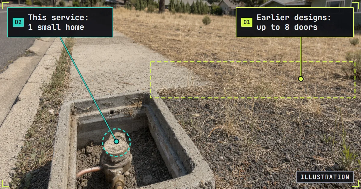
How Much House Can an Infill Lot Hold? Start With the Water Meter
Water meter size can cap an infill lot's density. This lot was eligible for middle housing, but the supplier would serve one small home. What to ask first.
Read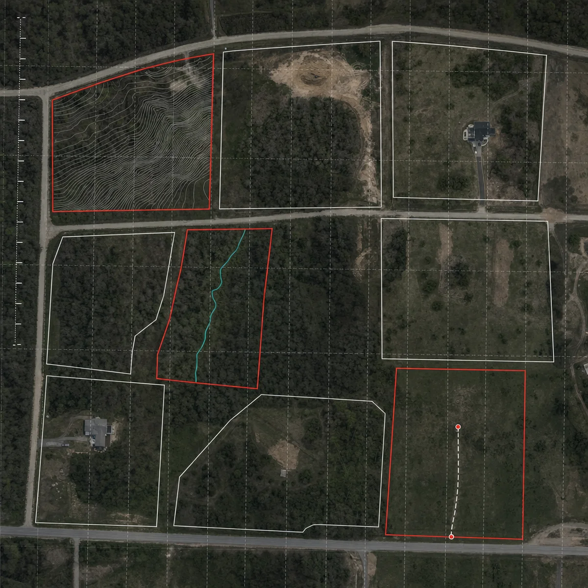 Due Diligence
Running 170 to 200 On-Your-Lot Homes a Year Showed Me Where Land Due Diligence Breaks
Who ends up checking the customer's lot as an on-your-lot builder grows, what that cost us, and what changed when I did it before the contract.
Read Utilities
When "City Sewer Nearby" Means $100,000+ in Hidden Land Development Costs
"Sewer is right there in the street" is one of the most expensive assumptions in land buying. Proximity isn't access, and the gap can cost six figures.
Read