Floodplain Development Permit: What It Covers and How to Get One
A floodplain development permit is the local permit for building, filling or grading in a mapped flood zone. What it covers and how to get one.
Last reviewed: 2026-11-06. Flood rules vary by jurisdiction and change, so confirm with your local floodplain administrator.
A customer brings you a lot in a flood zone, and you price the house like any other. The floodplain development permit is where that plan meets the local rules, and in many places it settles the survey, the fill and the design before the building permit moves.
A floodplain development permit is a local permit that a city or county issues for development in a mapped flood zone. It usually comes before or alongside the building permit. The review can be a staff review or a conditional use permit, so confirm the path with the floodplain administrator, the local official who runs the floodplain rules.
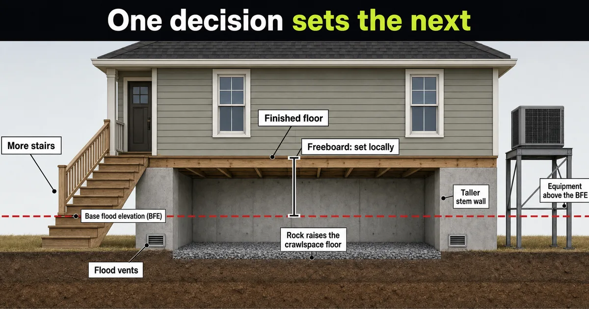
A builder who treats it as a checkbox on the building permit can find out at submittal that the survey, the fill plan and the design have to change. Part 2 covers the elevation certificate and Part 6 covers the design sequence.
Table of contents
- What is a floodplain development permit?
- What counts as development?
- What goes in the application?
- Is it a simple staff review or a conditional use permit?
- How much does it cost and how long does it take?
- Does the building permit cover it?
- Can the state require its own permit too?
- What happens if you build without one?
- What should you check before you buy or design?
- What does a SiteFacts Report do here, and what doesn’t it do?
- Terms on this page
What is a floodplain development permit?
It is the local permit that controls development in a mapped flood zone, and the city or county issues it, not FEMA. The Federal Emergency Management Agency (FEMA) maps the hazard and sets the minimums. The community adopts the ordinance and runs the permit.
The federal rule is 44 CFR 60.3(b)(1) and (c)(1): a community in the National Flood Insurance Program (NFIP) must require a permit for all proposed construction and other development in mapped A zones, whether or not a base flood elevation (BFE) is published. That covers Zone A, AE, A1-30, AH and AO. CFR is the Code of Federal Regulations.
Those are minimums. Under 44 CFR 60.1(d), state or local rules that are more restrictive “shall take precedence.” The local ordinance controls, and Part 1 shows where this permit sits in the build sequence.
What counts as development?
Any man-made change to the land, not only a house. 44 CFR 59.1 defines development as “any man-made change to improved or unimproved real estate, including but not limited to buildings or other structures, mining, dredging, filling, grading, paving, excavation or drilling operations or storage of equipment or materials.”
Each community’s ordinance sets which items need a permit, and local lists run well past the house.
Wake Forest, North Carolina, lists clearing, fill, grading, excavation, drainage and culvert work, road construction and an individual water or sewer system as other development on its permit application. In Delano, Minnesota, floodway uses that “may be allowed with a permit” include roads, driveways, culverts, and grading and filling, under Floodplain Ordinance O-24-05.
Weld County, Colorado, exempts only uses that “do not require structures, do not require alteration of the floodplain such as fill, excavation, or permanent storage of materials or equipment,” per its June 2026 procedural guide. Fill, excavation or permanent storage of materials or equipment takes a use off that list.
Small work can get a lighter track. Garden City, Idaho, has a Minor Work Floodplain Permit for exempt work outside the floodway, such as an accessory structure under 200 square feet and under $7,500, a stored RV or a fence.
In our experience, if it moves dirt, adds a structure, paves or stores material in the mapped floodplain, expect the floodplain permit to apply. Sheds and fences often have a short form path. The local ordinance decides, so ask before you start.
Raising the ground is development too. Where a community has an adopted floodway, 44 CFR 60.3(d)(3) has it prohibit encroachments, including fill, unless engineering analysis shows no increase in flood levels. Local rules on fill can be stricter, and bringing in dirt does not skip the permit.
What goes in the application?
In the forms we read, the application asks for a site plan that shows the flood boundaries and the BFE, elevation data for the building, and, in a floodway, an engineer’s no-rise certification. Each jurisdiction sets its own list.
Parker County’s undated instructions want the BFE and the proposed lowest floor on the building design plans. Weld County wants the floodplain and floodway boundaries on the property, the BFE at the building site and the lowest floor elevation, including a basement or crawlspace. For a new house, Wake Forest wants a certified FEMA elevation certificate with the proposed lowest floor elevation and a foundation plan.
For a floodway, Parker and Weld require a no-rise certification, and Wake Forest’s form asks whether one has been obtained.
Delano’s ordinance says the no-rise analysis is performed by a professional engineer and is “commonly documented through a ‘no-rise certification.’”
The reviewer checks your other permits too. In mapped A zones, 44 CFR 60.3(a)(2) has the community confirm that required federal and state permits are in hand, including Section 404 of the Federal Water Pollution Control Act amendments.
Elevation certificates come in stages. Weld County asks for a pre-construction certificate with the application, one after the foundation is done, and an as-built certificate before the certificate of occupancy or final building permit approval.
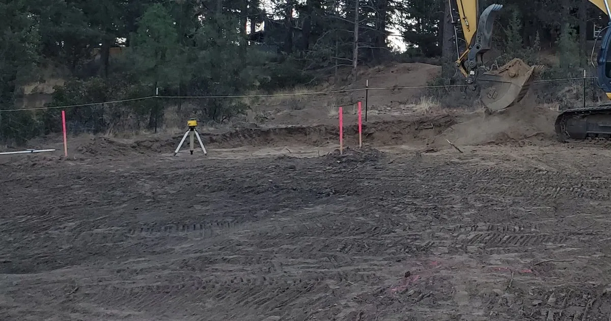
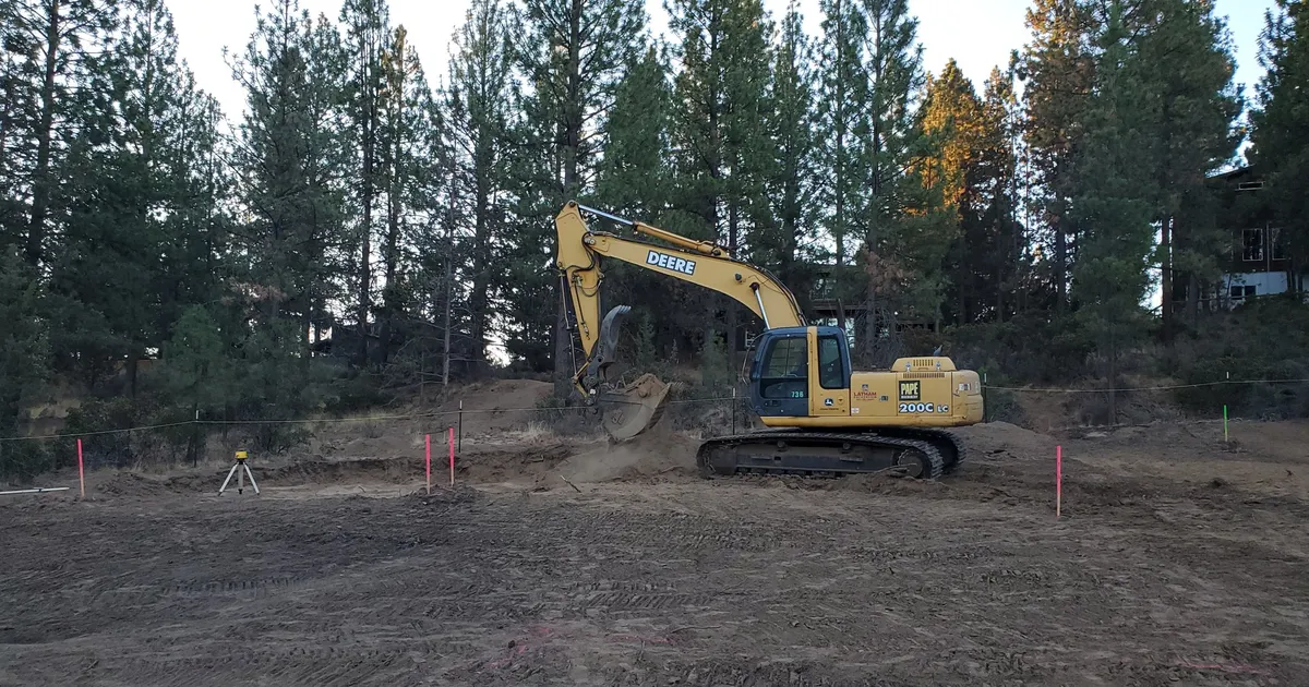
In our experience the sequence runs in this order. A surveyor surveys the site and stakes the BFE there, then the permit goes in with the fill and grading shown on the plan, then the surveyor certifies the fill and the floor as built.
Is it a simple staff review or a conditional use permit?
It can be either, and the local ordinance decides. In our experience, these permits vary widely, from a simple planning review to a full conditional use permit.
At the staff end, Weld County’s fee table lists its floodplain permit under “Administrative Staff Review.”
At the other end, Delano, Minnesota, subjects some designs to a conditional use permit. Section 6.21.B of its Floodplain Ordinance O-24-05 says, in its flood fringe district, “Elevation methods alternative to these fill standards are subject to a Conditional Use Permit.”
Minnesota’s state rule points the same way: Minn. R. 6120.5800 subp. 4.B has a residential first floor ordinarily go on fill at or above the flood protection elevation, and says floodproofing or other protective measures “may be allowed only upon issuance of a special use permit by the local governmental unit.”
Oregon offers one example in the middle. Lane County’s Ordinance 21-07 (2021) says new dwellings must be located outside the special flood hazard area (SFHA) unless the applicant shows that is infeasible. Some of those cases go through a Type I review, and cases that need discretion go through a Type II review. It covers unincorporated Lane County only.
How much does it cost and how long does it take?
It depends on the jurisdiction. There is no national average, so ask the floodplain administrator for the fee schedule and the review time.
Official examples follow. Each is as of its document date, so confirm before you budget.
Weld County’s June 2026 procedural guide lists a $300 fee for administrative staff review, and lists 45 days beside it. Permits that need extra analysis list at $750. Wake Forest’s May 2022 form lists a $100 fee, and says fees can change without notice.
Those fees cover the permit only. The surveyor, the engineer and any studies are separate costs that depend on the lot.
Does the building permit cover it?
In the places we read, no. The floodplain permit and the building permit are separate approvals, and one does not stand in for the other. Confirm how yours is set up.
Weld County’s guide says a Floodplain Development Permit shall be obtained for all development, buildings or structures in the floodplain “regardless of building permit requirements.” That means work with no building permit, such as fill or a driveway, can still need the floodplain permit.
Ada County, Idaho, lets you apply for both at once. Its page says the building permit will not be issued until the County Engineer approves the floodplain permit.
State or federal permits can come first. Delano, Minnesota, says work in public waters needs a Department of Natural Resources permit, or a showing that none is required, before applying for a local permit.
The permit can also follow you to the end. Wake Forest’s form says no work may start until a permit is issued, and that development shall not be used or occupied until final approval is issued. In our experience, floodplain approval usually comes first, and the as-built elevation record usually gates occupancy.
Plain words for your customer: “The local floodplain office usually looks at what the project does to the floodplain before it looks at the house plans. That review can change the plans, so we start it first.”
Can the state require its own permit too?
Yes, in some states. The state floodplain office tells you whether a state permit applies on top of the local one.
Illinois Department of Natural Resources says construction in the floodways of streams must be permitted by the state before construction where the drainage area is one square mile or more in urban areas, or ten square miles or more in rural areas. Where no floodway has been delineated, it generally requires permits for work anywhere in the floodplain.
Minnesota’s public waters work permit, which Delano’s ordinance cites under Minn. Stat. 103G.245, is a second example. Ask early whether a state permit applies.
What happens if you build without one?
The structure can be presumed in violation. Under 44 CFR 59.1, a violation is the failure of a structure or other development to be fully compliant with the community’s floodplain management regulations. A structure or other development without the elevation certificate or other certifications the regulation requires “is presumed to be in violation until such time as that documentation is provided.” A missing elevation certificate or no-rise certification can trigger that, even if the house was built high enough.
Section 1316 of the National Flood Insurance Act says no new coverage shall be provided for a property the Administrator finds has been declared by a state or local authority to be in violation of floodplain laws, per 42 U.S.C. 4023.
That is not automatic. FEMA’s glossary says Section 1316 was intended primarily as a backup for local enforcement, and that it will only be implemented where states or communities submit declarations for that purpose.
Communities carry risk too. A community that fails to adequately enforce its floodplain rules can be put on probation, and FEMA must first tell its policyholders about the impending probation and the additional premium, under 44 CFR 59.24(b).
If a community grants a variance, 44 CFR 60.6(a) says it is for floodplain management purposes only and that premium rates will not be modified by it, so a variance does not change how the premium is rated. Part 4 covers flood insurance.
What should you check before you buy or design?
Check the map, then call the administrator, then design. This is the order we suggest to builders and land buyers.
- Confirm the current effective flood map for the lot, with the panel number and date. Maps change, so recheck before design and permit. See Step 1 in Part 1.
- Call the floodplain administrator. Ask which permit path applies, how long it runs, and what the application needs.
- Have a licensed surveyor stake the BFE on site. SiteFacts’ advice is to do this so you and your customer can see what you are working with.
- Plan any fill with the jurisdiction before you design around it.
- Design the house with the floor height and fill answers in hand, as in Part 6. Plan for elevation certificates at each stage the jurisdiction sets, as in Part 2.
What does a SiteFacts Report do here, and what doesn’t it do?
A SiteFacts Report flags the mapped flood zone and the overlays that apply to a lot. Each report is analyst verified and typically delivered in 7 to 10 business days.
It does not survey a lot, prepare an elevation certificate, prepare a permit application or decide the permit path. A surveyor or engineer does that work, and the floodplain administrator decides what the lot needs.
See the flood zone and overlays on the lot before you quote
See the SiteFacts Report for your lot before you quote. The permit path remains the floodplain administrator's call.
Terms on this page
- Development: any man-made change to land, including buildings, filling, grading, paving, excavation and storing equipment or materials.
- Floodplain administrator: the local official who runs the floodplain rules and permit.
- No-rise certification: an engineer’s statement, backed by analysis, that development in a floodway will not raise flood levels.
- Conditional use permit: a permit for a use the ordinance allows only after added review and conditions.
- SFHA (special flood hazard area): the area on the flood map with a 1 percent chance of flooding in any year.
- BFE (base flood elevation): the height floodwater reaches in a flood with a 1 percent chance of happening in any year.